Maptech MapServer Maps and Charts: View FREE USGS Topo Maps, NOAA Nautical Charts, Aerial Photos. GPS Navigation Software.


Go!

Go!
Go!

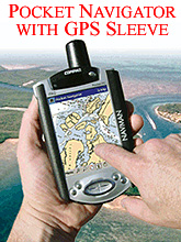
Maptech Pocket Navigator

UTM Zone 
Latitude 
Northing 
Longitude 
Easting 
Coordinates 

Click here for a USGS Topographic Map
Click here for a NOAA Nautical Chart
Click here for a NOAA Aeronautical Charts
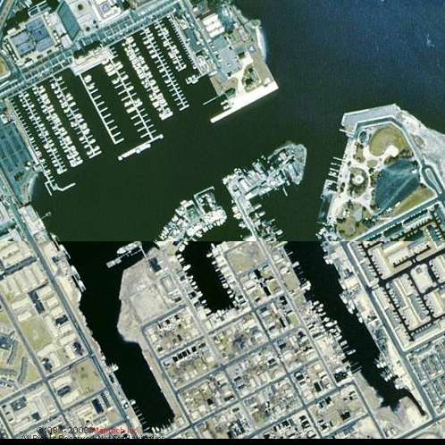
Click here for a USGS Aerial Photograph


zoom in to see more detail
SCALE= 1:20,000 @ 100% ZOOM
SCALE= 1:20,000 @ 50% ZOOM
zoom out to see larger area
Go!
Scale Zoom  
Click To Zoom


Maptech MapServer: View FREE USGS Topo Maps, NOAA Nautical Charts, Aerial Photos. GPS Navigation Software.


Enter your email to register for prize drawings and product information:

  More Info


Add Maps and Charts
 to Your Website -
 It's Free!


Maptech To order call (888) 839-5551. Main number: (978) 792-1000.

© 1989 - 2003 Maptech, Inc., All Rights Reserved. Maptech ® is a registered trademark of Maptech, Inc.

BY USING THIS WEBSITE, YOU AGREE TO BE BOUND BY THE WEBSITE'S TERMS AND CONDITIONS OF USE. CLICK HERE TO VIEW THESE TERMS AND CONDITIONS OF USE. IF YOU DO NOT AGREE TO BE BOUND BY THESE TERMS AND CONDITIONS OF USE, DISCONTINUE YOUR USE OF THIS WEBSITE IMMEDIATELY.